


Colder Water in 2013–2014
Winter 2013–2014 was particularly cold in the Gulf of St. Lawrence. From December to March, the average air temperature was the lowest it has been since 1993. This cold weather led to an abnormally heavy sea ice cover on the Gulf. The annual helicopter-based survey of the physical oceanographic conditions was conducted during the coldest month of March since 1948.
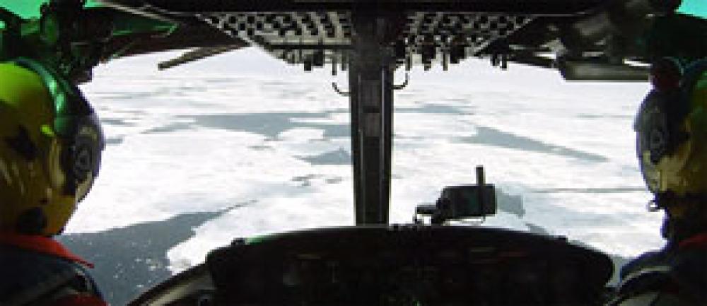
Usually done in a hovering helicopter at an altitude of 30 to 50 m above water, this survey has been conducted every winter since 1996 from a Canadian Coast Guard helicopter. This year, the large ice cover allowed the helicopter to land on the ice for the survey, as was done in the 1990s. To measure the temperature and salinity at 79 stations throughout the Gulf, a hole was first drilled through the ice and a probe was lowered in the waters to a depth of 200 m or more.
The physical oceanographic conditions of the surface mixed layer were exceptionally cold in March 2014, after four consecutive years of warm conditions. This surface layer, with temperatures below -1 °C, was very thick; this thickness was exceeded only once since the survey began in 1996, namely in 2003. The temperature of the surface mixed layer was near the freezing point nearly everywhere in the Gulf, with none of the surface warm waters that are sometimes found to have entered from Cabot Strait in the southeastern part of the Gulf.
The cold water from the surface mixed layer has effects that last for the remainder of the year. In springtime, a cold core remains below the surface and temperatures below 0 °C can still occur in the middle of summer. This phenomenon is known as the cold intermediate layer. For the upcoming summer, it is predicted that the cold intermediate layer will be colder than it has been during the last four summers.
The deep waters, which are over 150 m deep in the Gulf of St. Lawrence, have no contact with the atmosphere and their conditions are therefore very different than those of the overlying layers. In recent years, the deep water temperatures were much higher than the climatological mean. However, a significant drop in temperature was observed in Cabot Strait in 2013, indicating a possible reprieve from the high temperatures. However, in March 2014, it was again observed that the water temperatures were just as warm as in 2012 in the same area, reaching 7.5 °C at 200 m depth. Therefore, the reprieve did not last long!
Video showing samples being collected on the ice, March 2014
A LITTLE HELPING HAND
Here are a few definitions of expressions used in the text regarding ice and various water layers found in the Gulf of St. Lawrence.
Sea ice: Ice formed on the surface of a body of salt water.
Surface mixed layer: Surface layer of water mixed by the wind and waves. An average of 20 m thick in summer and up to 100 m thick in winter.
Cold intermediate layer: Layer of water that remains cold after winter ends, found at intermediate depths, from 20 to 150 m.
Deep waters: Deep water layer pulled upstream by the estuarial flow of the St. Lawrence River, from the Cabot Strait to the mouth of the Saguenay. It is found at depths of 150 to 300 m (and more according to bathymetry).
Peter S. Galbraith
Science
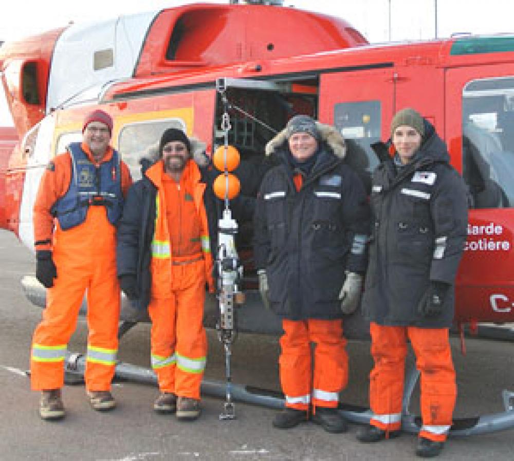
The sampling team in March 2014 (left to right): Peter Galbraith, researcher and project leader; Rémi Desmarais, oceanography technician; Robert Delisle, pilot; and David Gauvin, aircraft maintenance engineer. The probe used is in the centre of the group.


